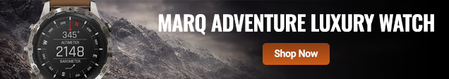
Garmin GPS | Sports Watches | Handheld Navigators


-
Reversing Cameras
-
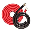
Power Cables
-
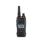
UHF Handheld
-
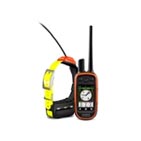
GPS Dog Tracking
-
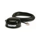
Antennas
-
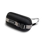
Protective Case
-
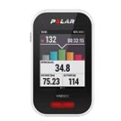
Cycling
-
Swimming
-
Action Cam Accs
-
Navigation
-
Multisport
-
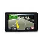
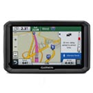
GPS Car
-
GPS Life Beacons
-
Car Charger
-
Screen Protectors
-
Heart Rate Monitors
-
Garmin Acc's
-
Range Finders
-
GPS Motorcycle
-
Marine Safety
-
Marine Accessories
-
GPS Handheld
-
GPS Mapping
-
Data Cables
-

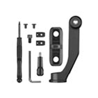
Mounting Brackets
-
Activity Trackers
-
Outdoor
-
Scales
-
Action Cam Acc's
-
GPS Truck
-
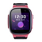
Kids
-
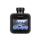
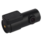
Car Dash Cameras
-
GPS Trainers
-
Home Chargers
-
Cables & Leads
-
Bush Walking
-
Running
-
Garmin Acc's
-
Phone Holders
-
Range Finders
The information below is required for social login
Sign In
Create New Account